
Latag topographic map
Interactive map
Click on the map to display elevation.
About this map
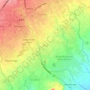
Name: Latag topographic map, elevation, terrain.
Location: Latag, Lipa, Batangas, Calabarzon, 4217, Philippines (13.91009 121.15493 13.95009 121.19493)
Average elevation: 285 m
Minimum elevation: 227 m
Maximum elevation: 336 m