
West Bend topographic map
Interactive map
Click on the map to display elevation.
About this map
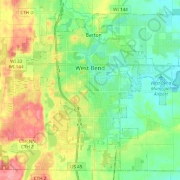
Name: West Bend topographic map, elevation, terrain.
Average elevation: 298 m
Minimum elevation: 260 m
Maximum elevation: 366 m
West Bend is in the Kettle Moraine region, and its topography is varied. The glacial activity has formed many kettles and hills throughout the region.