
West Des Moines topographic map
Interactive map
Click on the map to display elevation.
About this map
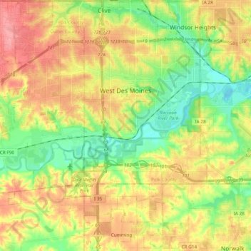
Name: West Des Moines topographic map, elevation, terrain.
Location: West Des Moines, Polk County, Iowa, United States (41.48927 -93.88687 41.60046 -93.69826)
Average elevation: 280 m
Minimum elevation: 238 m
Maximum elevation: 326 m