
Bagumbayan II topographic map
Interactive map
Click on the map to display elevation.
About this map
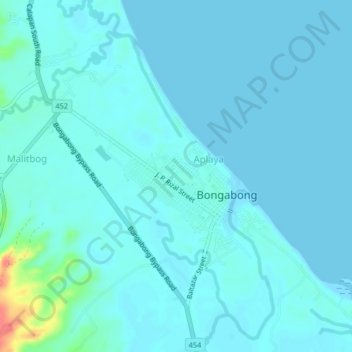
Name: Bagumbayan II topographic map, elevation, terrain.
Average elevation: 6 m
Minimum elevation: 0 m
Maximum elevation: 60 m
Other topographic maps
Click on a map to view its topography, its elevation and its terrain.
Malitbog
Philippines > Oriental Mindoro > Bongabong > Malitbog
Malitbog, Bongabong, Oriental Mindoro, Mimaropa, Philippines
Average elevation: 18 m