
Stadt Imst topographic map
Interactive map
Click on the map to display elevation.
About this map
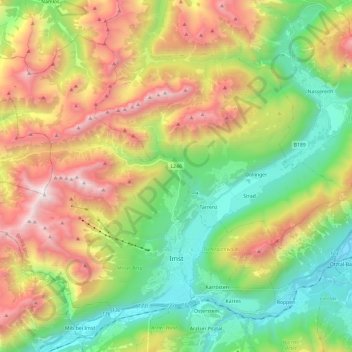
Name: Stadt Imst topographic map, elevation, terrain.
Location: Stadt Imst, Bezirk Imst, Tyrol, 6460, Autriche (47.21095 10.53837 47.34094 10.77582)
Average elevation: 1,613 m
Minimum elevation: 691 m
Maximum elevation: 2,768 m