
Port-Louis topographic map
Interactive map
Click on the map to display elevation.
About this map
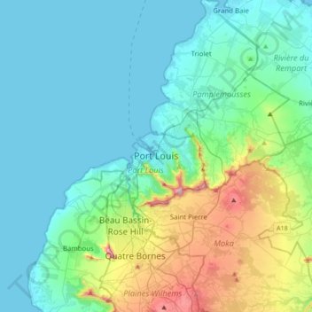
Name: Port-Louis topographic map, elevation, terrain.
Location: Port-Louis, 11317, Maurice (-20.32245 57.34280 -20.00245 57.66280)
Average elevation: 142 m
Minimum elevation: 0 m
Maximum elevation: 747 m