
Shatsky District topographic map
Interactive map
Click on the map to display elevation.
About this map
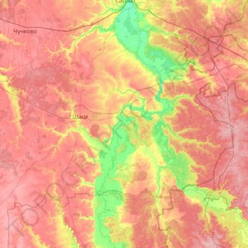
Name: Shatsky District topographic map, elevation, terrain.
Average elevation: 140 m
Minimum elevation: 83 m
Maximum elevation: 190 m
Other topographic maps
Click on a map to view its topography, its elevation and its terrain.
Галина
Russia > Ryazan Oblast > Окское сельское поселение
Галина, Окское сельское поселение, Ryazansky District, Ryazan Oblast, Central Federal District, 390518, Russia
Average elevation: 172 m