
Sungai Piah topographic map
Interactive map
Click on the map to display elevation.
About this map
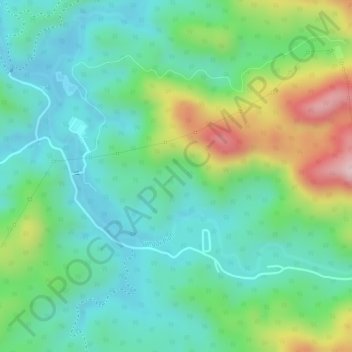
Name: Sungai Piah topographic map, elevation, terrain.
Location: Sungai Piah, Kuala Kangsar, Perak, Malaysia (5.08572 101.18921 5.10056 101.20787)
Average elevation: 219 m
Minimum elevation: 127 m
Maximum elevation: 417 m