
Schollene topographic map
Interactive map
Click on the map to display elevation.
About this map
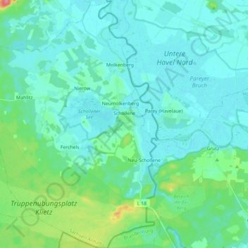
Name: Schollene topographic map, elevation, terrain.
Location: Schollene, Elbe-Havel-Land, Stendal, Saksen-Anhalt, Duitsland (52.61859 12.11757 52.72508 12.23924)
Average elevation: 36 m
Minimum elevation: 23 m
Maximum elevation: 98 m