
Kongur topographic map
Interactive map
Click on the map to display elevation.
About this map
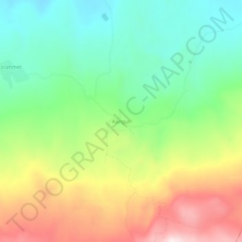
Name: Kongur topographic map, elevation, terrain.
Location: Kongur, Hınıs, Erzurum, Doğu Anadolu Bölgesi, Turquie (39.21951 41.83501 39.25951 41.87501)
Average elevation: 1,898 m
Minimum elevation: 1,646 m
Maximum elevation: 2,287 m