
Landayan topographic map
Interactive map
Click on the map to display elevation.
About this map
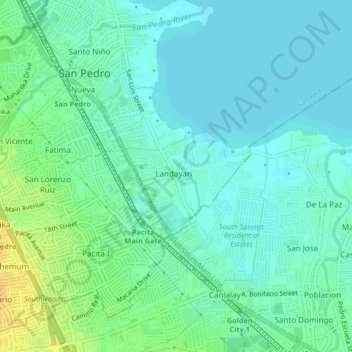
Name: Landayan topographic map, elevation, terrain.
Location: Landayan, San Pedro, Laguna, Calabarzon, 1773, Philippines (14.33219 121.04756 14.37219 121.08756)
Average elevation: 8 m
Minimum elevation: 0 m
Maximum elevation: 28 m