
Dodgeville topographic map
Interactive map
Click on the map to display elevation.
About this map
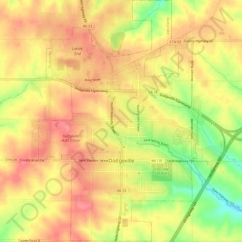
Name: Dodgeville topographic map, elevation, terrain.
Location: Dodgeville, Wisconsin, United States of America (42.94524 -90.15090 42.98898 -90.10826)
Average elevation: 369 m
Minimum elevation: 315 m
Maximum elevation: 401 m