
Tajuña topographic map
Interactive map
Click on the map to display elevation.
About this map
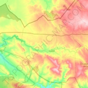
Name: Tajuña topographic map, elevation, terrain.
Location: Tajuña, Luzón, Guadalajara, Castile-La Mancha, 19280, Spain (41.02435 -2.36129 41.04591 -2.21416)
Average elevation: 1,229 m
Minimum elevation: 1,077 m
Maximum elevation: 1,370 m