
Alutu topographic map
Interactive map
Click on the map to display elevation.
About this map
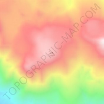
Name: Alutu topographic map, elevation, terrain.
Location: Alutu, Assella, Arsi, Oromia, Éthiopie (7.76288 38.76506 7.76298 38.76516)
Average elevation: 2,152 m
Minimum elevation: 1,757 m
Maximum elevation: 2,362 m
Other topographic maps
Click on a map to view its topography, its elevation and its terrain.
Bora-Bericcio
Bora-Bericcio, Assella, Arsi, Oromia, Éthiopie
Average elevation: 1,821 m
Tullu Moje
Tullu Moje, Assella, Arsi, Oromia, Éthiopie
Average elevation: 2,184 m