
Nevado del Ruiz topographic map
Interactive map
Click on the map to display elevation.
About this map
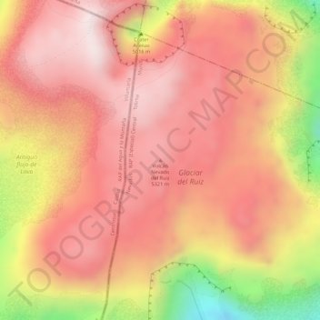
Name: Nevado del Ruiz topographic map, elevation, terrain.
Location: Nevado del Ruiz, Villamaría, Centrosur, Caldas, Colombia (4.89322 -75.32385 4.89332 -75.32375)
Average elevation: 5,051 m
Minimum elevation: 4,441 m
Maximum elevation: 5,286 m
Other topographic maps
Click on a map to view its topography, its elevation and its terrain.