
Latukan topographic map
Interactive map
Click on the map to display elevation.
About this map
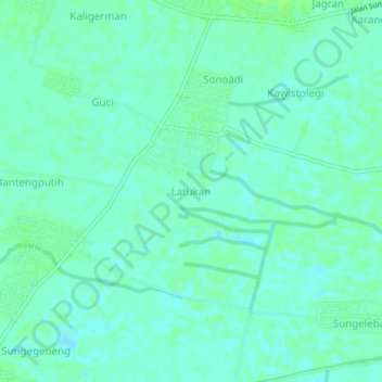
Name: Latukan topographic map, elevation, terrain.
Location: Latukan, Lamongan, East Java, Indonesia (-7.04557 112.30523 -7.00557 112.34523)
Average elevation: 4 m
Minimum elevation: 0 m
Maximum elevation: 9 m