
Hertali topographic map
Interactive map
Click on the map to display elevation.
About this map
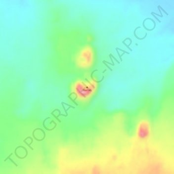
Name: Hertali topographic map, elevation, terrain.
Location: Hertali, Zone 3, Afar, Éthiopie (9.77333 40.33883 9.77343 40.33893)
Average elevation: 789 m
Minimum elevation: 744 m
Maximum elevation: 876 m
Other topographic maps
Click on a map to view its topography, its elevation and its terrain.
Yangudi Rassa National Park
Yangudi Rassa National Park, 18, Zone 3, Afar, Éthiopie
Average elevation: 622 m