
Galeras topographic map
Interactive map
Click on the map to display elevation.
About this map
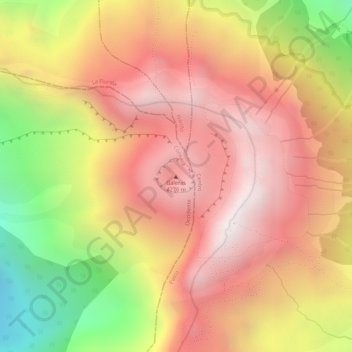
Name: Galeras topographic map, elevation, terrain.
Location: Galeras, Pasto, Nariño, Colombia (1.22487 -77.35345 1.22497 -77.35335)
Average elevation: 3,834 m
Minimum elevation: 3,186 m
Maximum elevation: 4,208 m