
Johore Hill topographic map
Interactive map
Click on the map to display elevation.
About this map
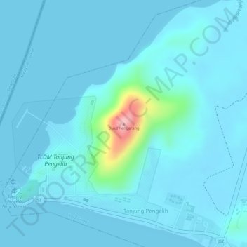
Name: Johore Hill topographic map, elevation, terrain.
Location: Johore Hill, J52, Tanjung Pengelih, Johor, Malaysia (1.37710 104.10070 1.37720 104.10080)
Average elevation: 15 m
Minimum elevation: 0 m
Maximum elevation: 170 m