
Brese topographic map
Interactive map
Click on the map to display elevation.
About this map
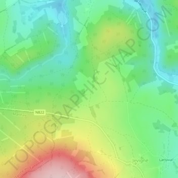
Name: Brese topographic map, elevation, terrain.
Location: Brese, Lierneux, Verviers, Liège, Wallonie, 4990, Belgique (50.29621 5.74654 50.31621 5.76654)
Average elevation: 407 m
Minimum elevation: 317 m
Maximum elevation: 564 m