
Pandi topographic map
Interactive map
Click on the map to display elevation.
About this map
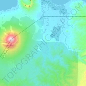
Name: Pandi topographic map, elevation, terrain.
Average elevation: 277 m
Minimum elevation: -1 m
Maximum elevation: 2,312 m
Other topographic maps
Click on a map to view its topography, its elevation and its terrain.
New Britain
Papua New Guinea > East New Britain
New Britain, Pomio District, East New Britain, Islands Region, Papua New Guinea
Average elevation: 77 m