
Rzeszów topographic map
Interactive map
Click on the map to display elevation.
About this map
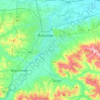
Name: Rzeszów topographic map, elevation, terrain.
Location: Rzeszów, Subcarpathian Voivodeship, Poland (49.93258 21.85868 50.09419 22.09415)
Average elevation: 239 m
Minimum elevation: 189 m
Maximum elevation: 399 m