
Bunggo topographic map
Interactive map
Click on the map to display elevation.
About this map
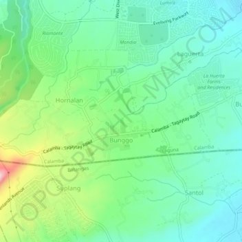
Name: Bunggo topographic map, elevation, terrain.
Location: Bunggo, Calamba, Laguna, Calabarzon, 4027, Philippines (14.15339 121.04596 14.16885 121.08887)
Average elevation: 223 m
Minimum elevation: 156 m
Maximum elevation: 385 m
Other topographic maps
Click on a map to view its topography, its elevation and its terrain.