
Tévenon topographic map
Interactive map
Click on the map to display elevation.
About this map
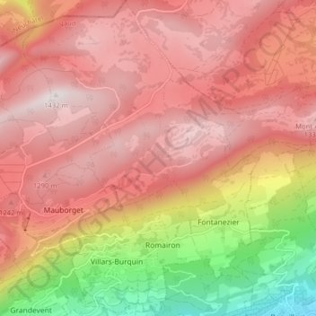
Name: Tévenon topographic map, elevation, terrain.
Location: Tévenon, District du Jura-Nord vaudois, Vaud, 1423, Suisse (46.83780 6.60454 46.89162 6.66369)
Average elevation: 1,061 m
Minimum elevation: 456 m
Maximum elevation: 1,413 m