
Tulahuén topographic map
Interactive map
Click on the map to display elevation.
About this map
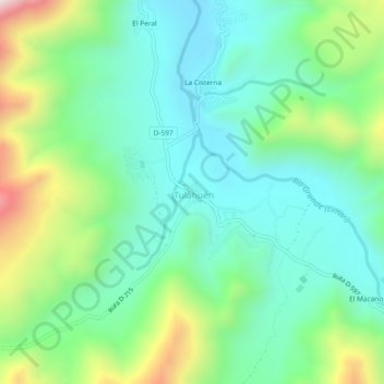
Name: Tulahuén topographic map, elevation, terrain.
Location: Tulahuén, Provincia de Limarí, Región de Coquimbo, Chile (-30.98468 -70.78890 -30.94468 -70.74890)
Average elevation: 1,149 m
Minimum elevation: 913 m
Maximum elevation: 1,742 m