
Lugton topographic map
Interactive map
Click on the map to display elevation.
About this map
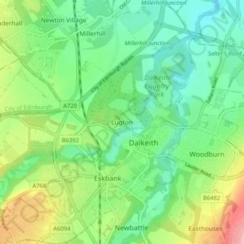
Name: Lugton topographic map, elevation, terrain.
Location: Lugton, Midlothian, Scotland, EH22 1JX, United Kingdom (55.87773 -3.09635 55.91773 -3.05635)
Average elevation: 62 m
Minimum elevation: 20 m
Maximum elevation: 148 m