
Derborence topographic map
Interactive map
Click on the map to display elevation.
About this map
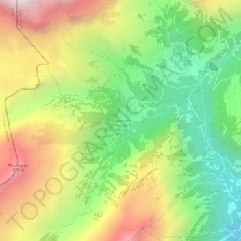
Name: Derborence topographic map, elevation, terrain.
Location: Derborence, Conthey, Valais, 1964, Suisse (46.25974 7.19416 46.29974 7.23416)
Average elevation: 1,794 m
Minimum elevation: 1,032 m
Maximum elevation: 2,792 m