
Havixbeck topographic map
Interactive map
Click on the map to display elevation.
About this map
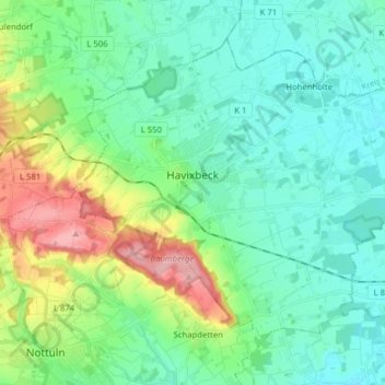
Name: Havixbeck topographic map, elevation, terrain.
Location: Havixbeck, Kreis Coesfeld, Noordrijn-Westfalen, 48329, Duitsland (51.93154 7.36516 52.00959 7.52265)
Average elevation: 96 m
Minimum elevation: 63 m
Maximum elevation: 192 m