
Mount Laurel Township topographic map
Interactive map
Click on the map to display elevation.
About this map
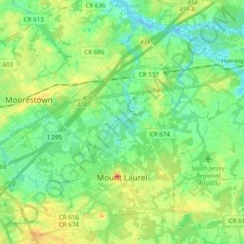
Name: Mount Laurel Township topographic map, elevation, terrain.
Location: Mount Laurel Township, Burlington County, New Jersey, USA (39.91428 -74.98372 40.00075 -74.84855)
Average elevation: 16 m
Minimum elevation: -5 m
Maximum elevation: 45 m