
Castries topographic map
Interactive map
Click on the map to display elevation.
About this map
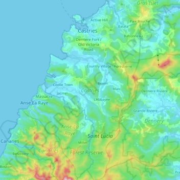
Name: Castries topographic map, elevation, terrain.
Location: Castries, Saint Lucia (13.86661 -61.03263 14.03846 -60.93780)
Average elevation: 130 m
Minimum elevation: 0 m
Maximum elevation: 783 m
Other topographic maps
Click on a map to view its topography, its elevation and its terrain.