
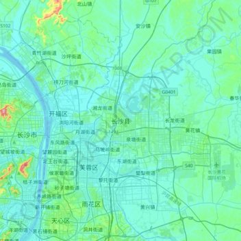
长沙县 topographic map
Interactive map
Click on the map to display elevation.
About this map
Name: 长沙县 topographic map, elevation, terrain.
Location: 长沙县, Changsha County, Changsha City, Hunan, PRC (28.08919 112.91483 28.40919 113.23483)
Average elevation: 55 m
Minimum elevation: 21 m
Maximum elevation: 340 m