
Sole Street topographic map
Interactive map
Click on the map to display elevation.
About this map
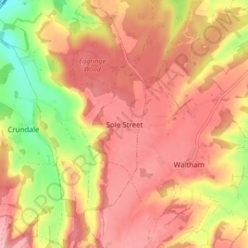
Name: Sole Street topographic map, elevation, terrain.
Location: Sole Street, Kent, South East, England, CT4 7ER, United Kingdom (51.18464 0.97989 51.22464 1.01989)
Average elevation: 117 m
Minimum elevation: 31 m
Maximum elevation: 165 m