
Stayner topographic map
Interactive map
Click on the map to display elevation.
About this map
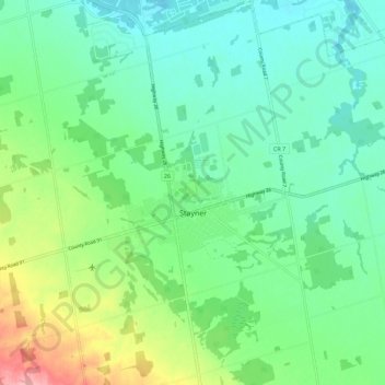
Name: Stayner topographic map, elevation, terrain.
Location: Stayner, Simcoe County, Ontario, L0M 1S0, Canada (44.38359 -80.13058 44.46359 -80.05058)
Average elevation: 219 m
Minimum elevation: 184 m
Maximum elevation: 308 m