
Mining topographic map
Interactive map
Click on the map to display elevation.
About this map
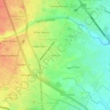
Name: Mining topographic map, elevation, terrain.
Location: Mining, Angeles, Central Luzon, 2009, Philippines (15.12513 120.58285 15.16513 120.62285)
Average elevation: 82 m
Minimum elevation: 58 m
Maximum elevation: 108 m
Other topographic maps
Click on a map to view its topography, its elevation and its terrain.
Pulung Cacutud
Pulung Cacutud, Angeles, Central Luzon, 2009, Philippines
Average elevation: 73 m
Margot
Philippines > Angeles > Margot
Margot, Angeles, Central Luzon, 2023, Philippines
Average elevation: 185 m