
Kerobokan topographic map
Interactive map
Click on the map to display elevation.
About this map
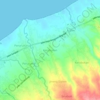
Name: Kerobokan topographic map, elevation, terrain.
Location: Kerobokan, Bali, 81151, Indonesia (-8.11390 115.10713 -8.07390 115.14713)
Average elevation: 31 m
Minimum elevation: 0 m
Maximum elevation: 105 m