
Fort Conger topographic map
Interactive map
Click on the map to display elevation.
About this map
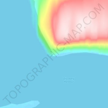
Name: Fort Conger topographic map, elevation, terrain.
Location: Fort Conger, Nunavut, Canada (81.70276 -64.73731 81.74276 -64.69731)
Average elevation: 80 m
Minimum elevation: -1 m
Maximum elevation: 385 m