
Warraq al Hadar topographic map
Interactive map
Click on the map to display elevation.
About this map
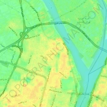
Name: Warraq al Hadar topographic map, elevation, terrain.
Location: Warraq al Hadar, Giza, 12662, Egypt (30.08083 31.19611 30.12083 31.23611)
Average elevation: 21 m
Minimum elevation: 6 m
Maximum elevation: 33 m
Other topographic maps
Click on a map to view its topography, its elevation and its terrain.