
Brand topographic map
Interactive map
Click on the map to display elevation.
About this map
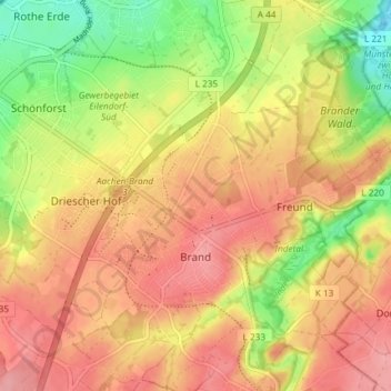
Name: Brand topographic map, elevation, terrain.
Average elevation: 234 m
Minimum elevation: 175 m
Maximum elevation: 278 m
Other topographic maps
Click on a map to view its topography, its elevation and its terrain.
Eilendorf
Duitsland > Noordrijn-Westfalen > Aken
Eilendorf, Aken, Städteregion Aachen, Regierungsbezirk Köln, Noordrijn-Westfalen, 52080, Duitsland
Average elevation: 203 m