
Dona Nene Subdivision topographic map
Interactive map
Click on the map to display elevation.
About this map
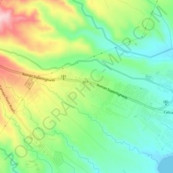
Name: Dona Nene Subdivision topographic map, elevation, terrain.
Location: Dona Nene Subdivision, Bataan, Central Luzon, Philippines (14.43675 120.54286 14.47675 120.58286)
Average elevation: 96 m
Minimum elevation: 0 m
Maximum elevation: 258 m