
San Siro topographic map
Interactive map
Click on the map to display elevation.
About this map
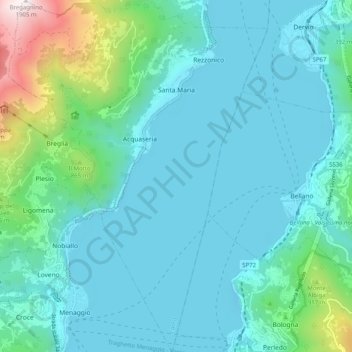
Name: San Siro topographic map, elevation, terrain.
Location: San Siro, Como, Lombardei, Italien (46.01184 9.21985 46.08184 9.29418)
Average elevation: 449 m
Minimum elevation: 180 m
Maximum elevation: 1,896 m