
Burnham Park topographic map
Interactive map
Click on the map to display elevation.
About this map
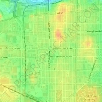
Name: Burnham Park topographic map, elevation, terrain.
Location: Burnham Park, Milwaukee, Milwaukee County, Wisconsin, USA (43.00662 -87.96681 43.01698 -87.94782)
Average elevation: 201 m
Minimum elevation: 181 m
Maximum elevation: 215 m
Other topographic maps
Click on a map to view its topography, its elevation and its terrain.