
Burnham Park topographic map
Interactive map
Click on the map to display elevation.
About this map
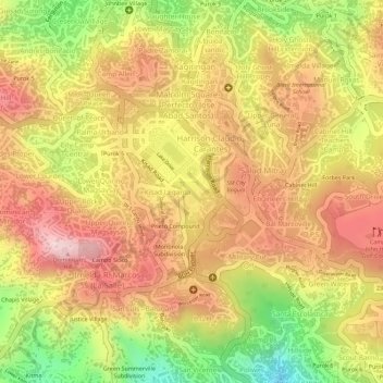
Name: Burnham Park topographic map, elevation, terrain.
Location: Burnham Park, District 4, Baguio, 2600, Philippines (16.40275 120.59202 16.41325 120.59752)
Average elevation: 1,445 m
Minimum elevation: 1,278 m
Maximum elevation: 1,550 m
Other topographic maps
Click on a map to view its topography, its elevation and its terrain.