
Barangay 139 topographic map
Interactive map
Click on the map to display elevation.
About this map
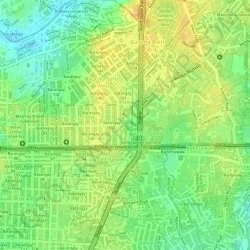
Name: Barangay 139 topographic map, elevation, terrain.
Location: Barangay 139, Caloocan, Metro Manila, Philippines (14.65733 120.99779 14.66209 120.99939)
Average elevation: 22 m
Minimum elevation: 4 m
Maximum elevation: 34 m
Other topographic maps
Click on a map to view its topography, its elevation and its terrain.