
Lago Puelo topographic map
Interactive map
Click on the map to display elevation.
About this map
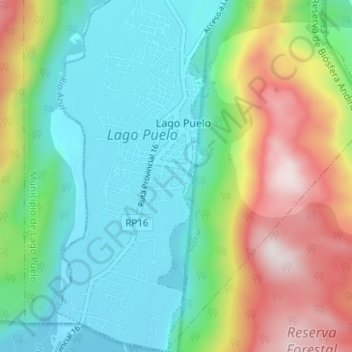
Name: Lago Puelo topographic map, elevation, terrain.
Location: Lago Puelo, Departamento Cushamen, CHB, 9431, Argentina (-42.09048 -71.61640 -42.04397 -71.59218)
Average elevation: 440 m
Minimum elevation: 192 m
Maximum elevation: 974 m