
Diliman Creek topographic map
Interactive map
Click on the map to display elevation.
About this map
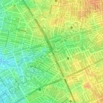
Name: Diliman Creek topographic map, elevation, terrain.
Average elevation: 42 m
Minimum elevation: 20 m
Maximum elevation: 57 m
Other topographic maps
Click on a map to view its topography, its elevation and its terrain.
West Kamias
West Kamias, Project 1, 3rd District, Quezon City, Metro Manila, 1102, Philippines
Average elevation: 44 m