
Urria topographic map
Interactive map
Click on the map to display elevation.
About this map
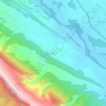
Name: Urria topographic map, elevation, terrain.
Location: Urria, Las Merindades, Burgos, Castile and León, Spain (42.82631 -3.47342 42.86631 -3.43342)
Average elevation: 693 m
Minimum elevation: 547 m
Maximum elevation: 1,162 m