
Parkway topographic map
Interactive map
Click on the map to display elevation.
About this map
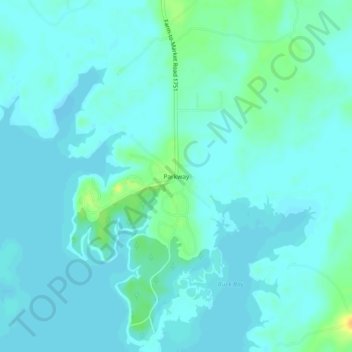
Name: Parkway topographic map, elevation, terrain.
Location: Parkway, San Augustine County, Texas, USA (31.18297 -94.08908 31.22297 -94.04908)
Average elevation: 52 m
Minimum elevation: 47 m
Maximum elevation: 74 m