
Black Sturgeon Falls (Marcel Colomb First Nation) topographic map
Interactive map
Click on the map to display elevation.
About this map
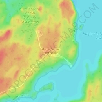
Name: Black Sturgeon Falls (Marcel Colomb First Nation) topographic map, elevation, terrain.
Average elevation: 314 m
Minimum elevation: 293 m
Maximum elevation: 346 m