
Grand Canyon topographic map
Interactive map
Click on the map to display elevation.
About this map
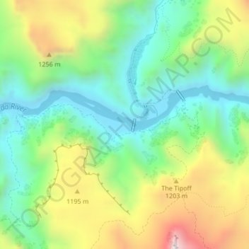
Name: Grand Canyon topographic map, elevation, terrain.
Location: Grand Canyon, Coconino County, Arizona, United States (36.09651 -112.09854 36.09661 -112.09844)
Average elevation: 1,018 m
Minimum elevation: 737 m
Maximum elevation: 1,592 m
Other topographic maps
Click on a map to view its topography, its elevation and its terrain.
Coconino County
United States > Arizona > Coconino County
Coconino County, Arizona, United States
Average elevation: 1,725 m