
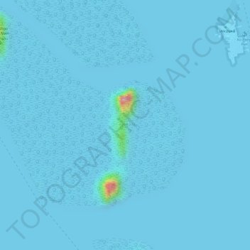
Ko Song Phi Nong topographic map
Interactive map
Click on the map to display elevation.
About this map
Name: Ko Song Phi Nong topographic map, elevation, terrain.
Location: Ko Song Phi Nong, Phangnga Province, Thailand (8.32079 98.49041 8.33056 98.49368)
Average elevation: 4 m
Minimum elevation: -3 m
Maximum elevation: 192 m
Other topographic maps
Click on a map to view its topography, its elevation and its terrain.
Ko Phra Wat Noi
Ko Phra Wat Noi, Phangnga Province, Thailand
Average elevation: 4 m
Ko Similan (No. 8)
Ko Similan (No. 8), Phangnga Province, Thailand
Average elevation: 18 m